

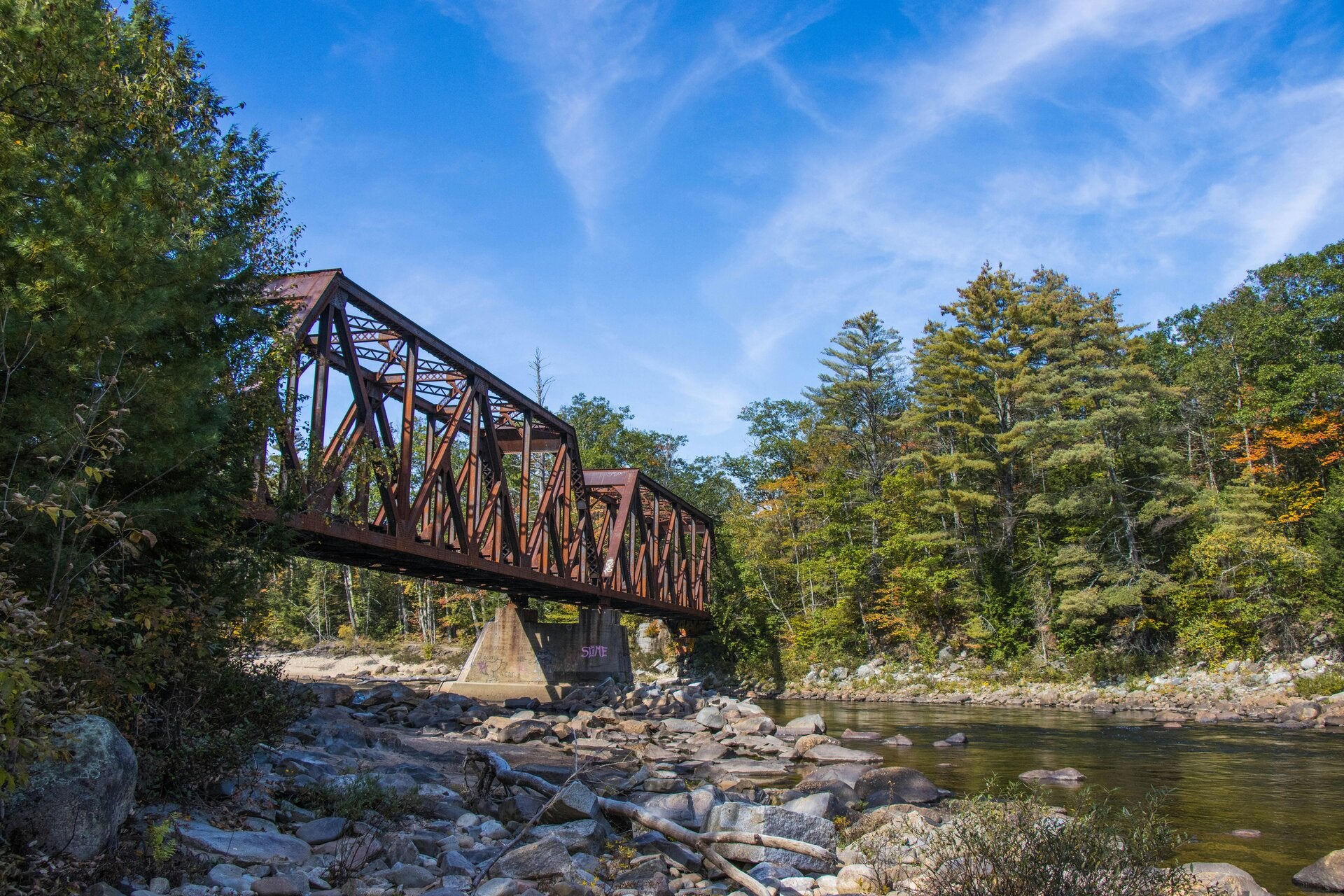
Advanced Drone Inspections for Remote FSR, Rail, Highway, Pipeline, and Mining Infrastructure
RDL is Optimized to Solve Your Remote Location Mobilization Challenges

Engineered for the backcountry
Optimized for the bottom line
Industrial RPAS Aerial Inspections & Close-Range Anomalies
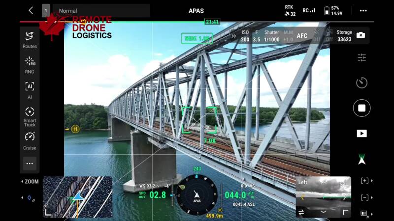
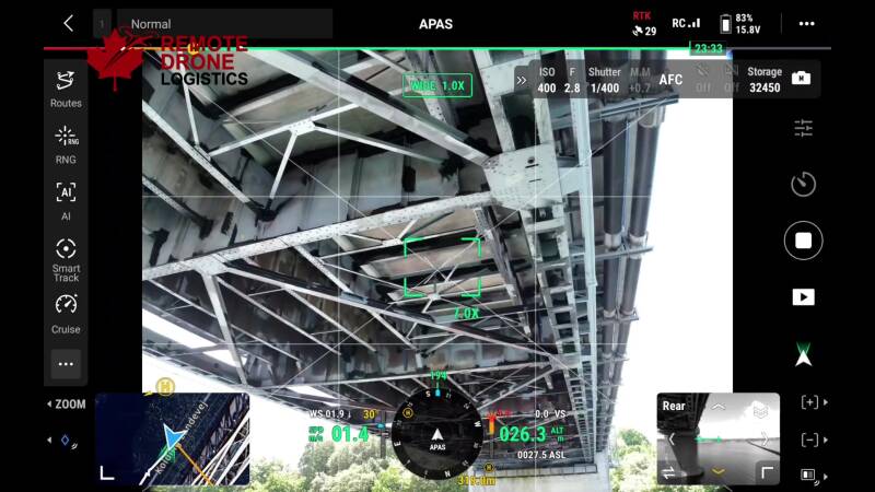
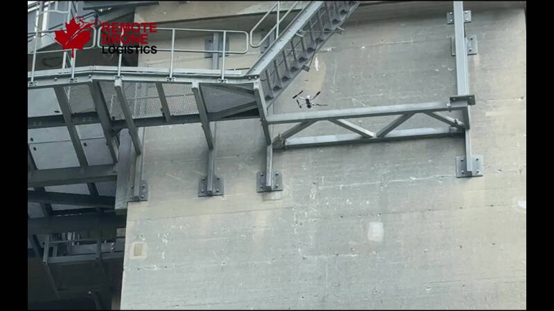
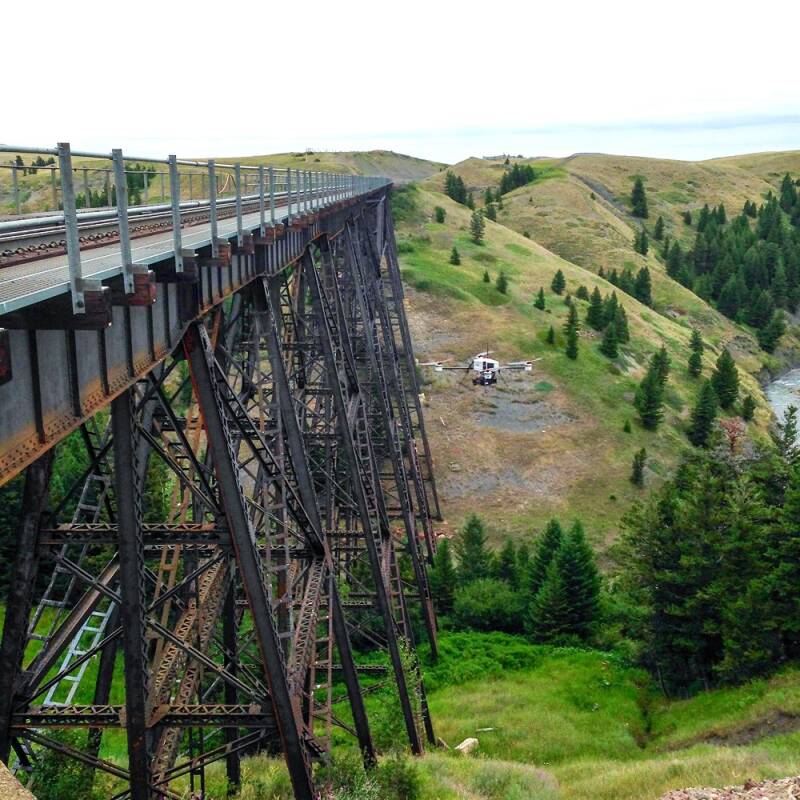
Utilizing enterprise platforms declared compliant for Transport Canada Advanced Operations, our systems incorporate integrated LiDAR collision avoidance, allowing a single pilot to safely navigate inside tight structural envelopes, between bridge girders, and underneath solid decks without GPS or RTK positioning.

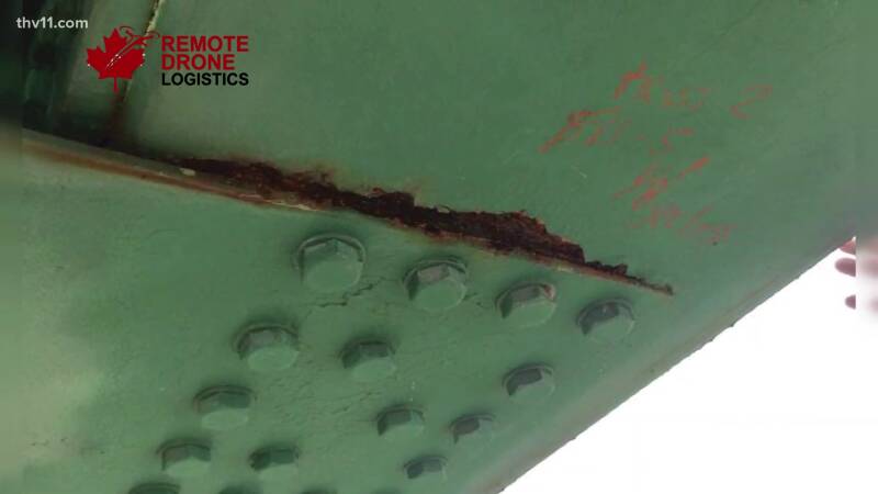
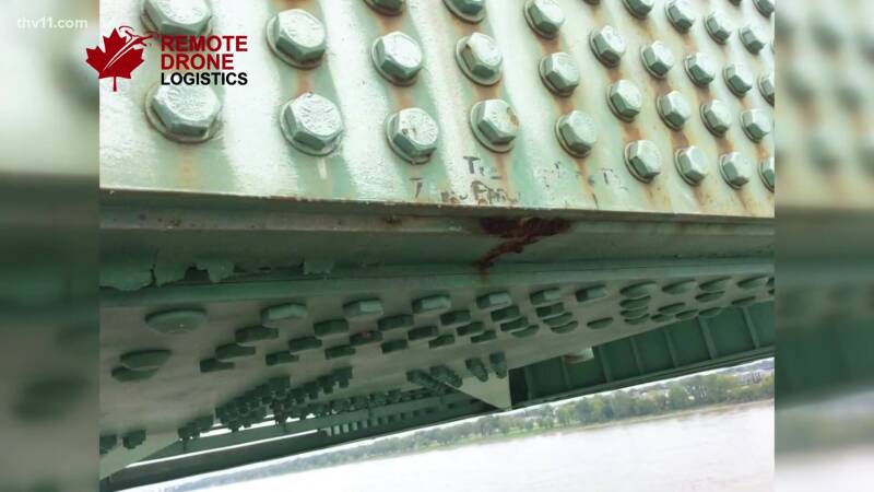
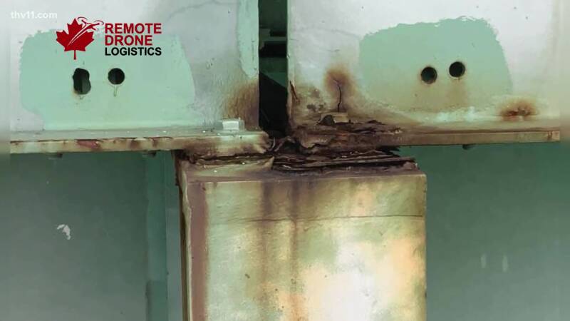
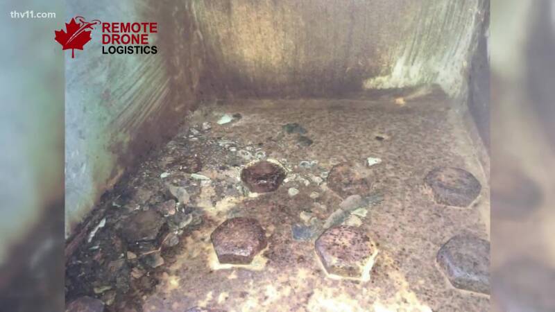
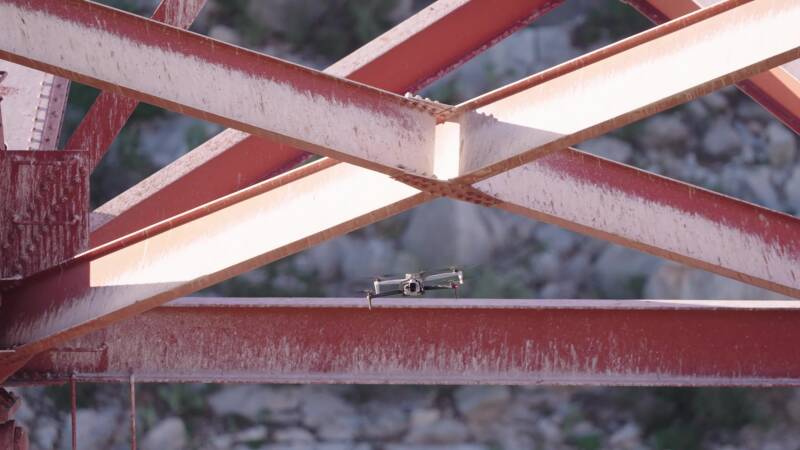
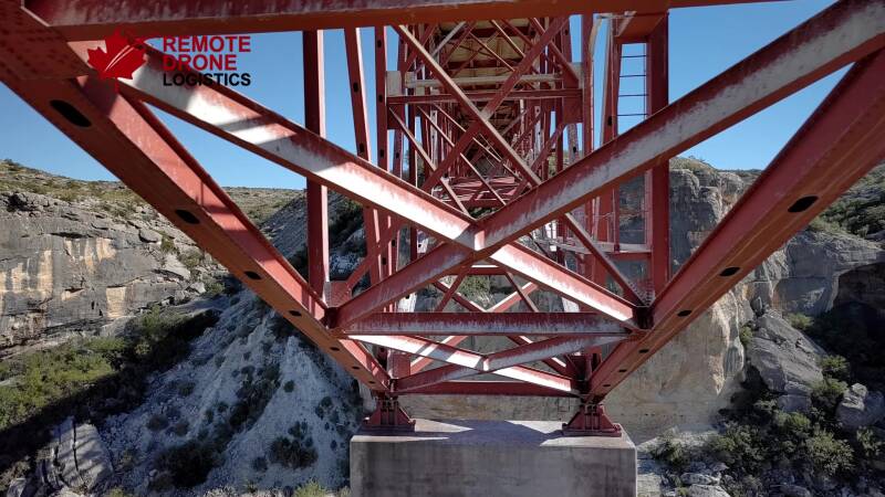
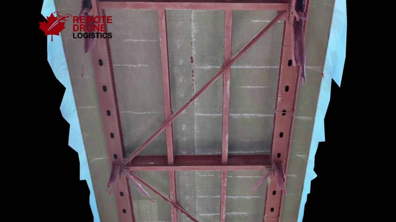

3D Data Capture and Mapping
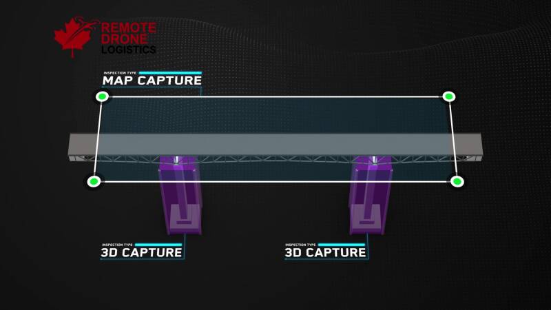
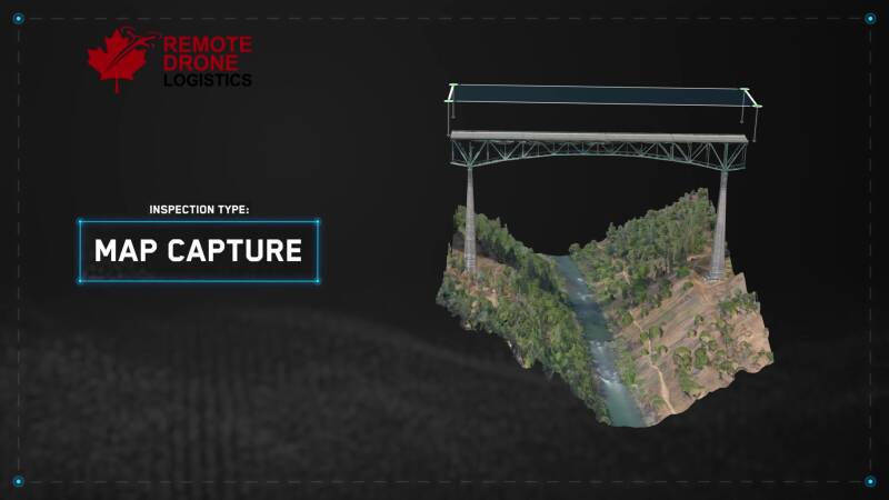
Structural RPAS Condition Monitoring & Environmental Risk Support
Delivering high-resolution visual data to support engineering assessments of linear infrastructure and remote river corridors. Clean, organized photographic data capture identifies structural abutment shifts, concrete scouring, log jams, and localized terrain changes to optimize maintenance scheduling and regulatory reporting.
Multi-day deployments to remote locations to monitor or record log jams, slides, glacial changes, river corridors, and wildlife habitats during optimal atmospheric windows.
Contact Us
Langley, BC, Canada
Operational deployments across BC, Alberta, and Yukon Territory.
Regular Operating Season: May 15th – November 15th